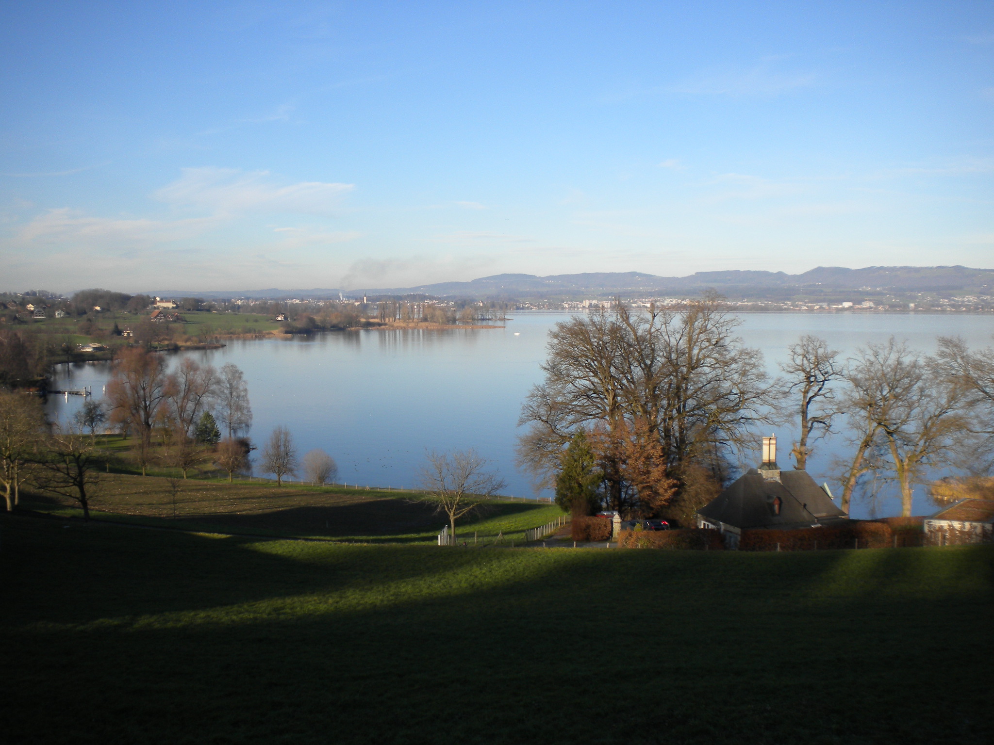
- 24. Dezember 2012, Umrundung Zürichsee inkl. Obersee
- 25. Dezember 2012, Umrundung Zürichsee
- 26. Dezember 2012, Horgen - Kerenzerberg - Walenstadt - Kerenzerberg - Horgen
- 27. Dezember 2012, Einkauf mit dem Transport-Velo (Horgen - Meilen [Fähre] - Stäfa - Rapperswil - Horgen)
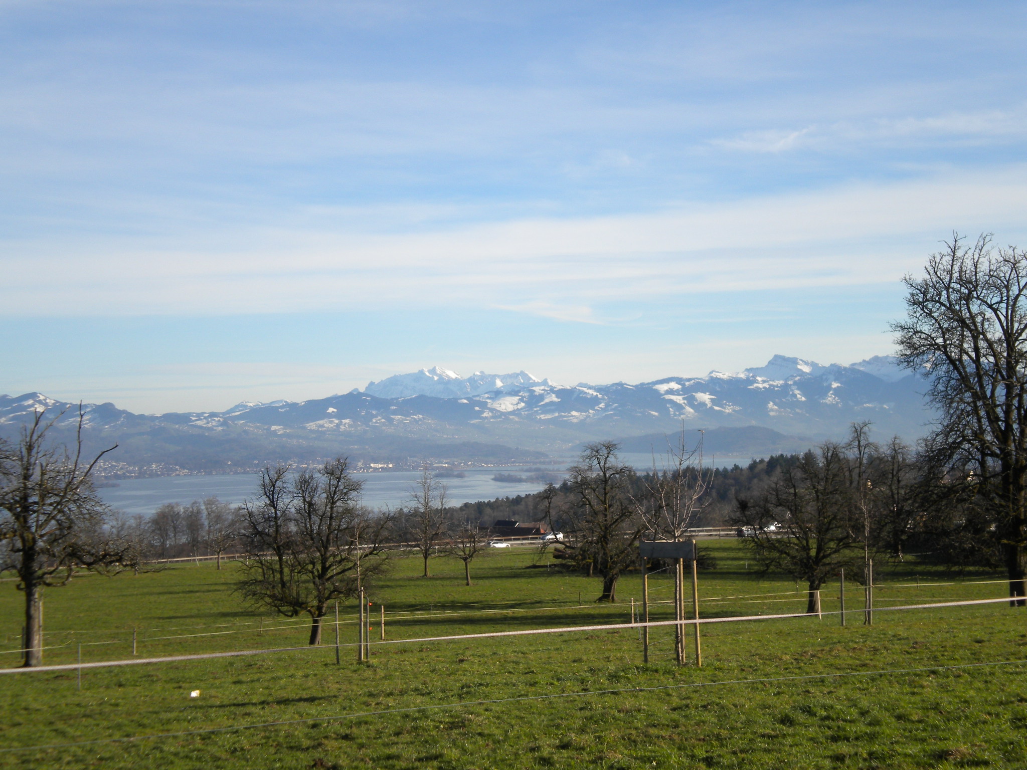
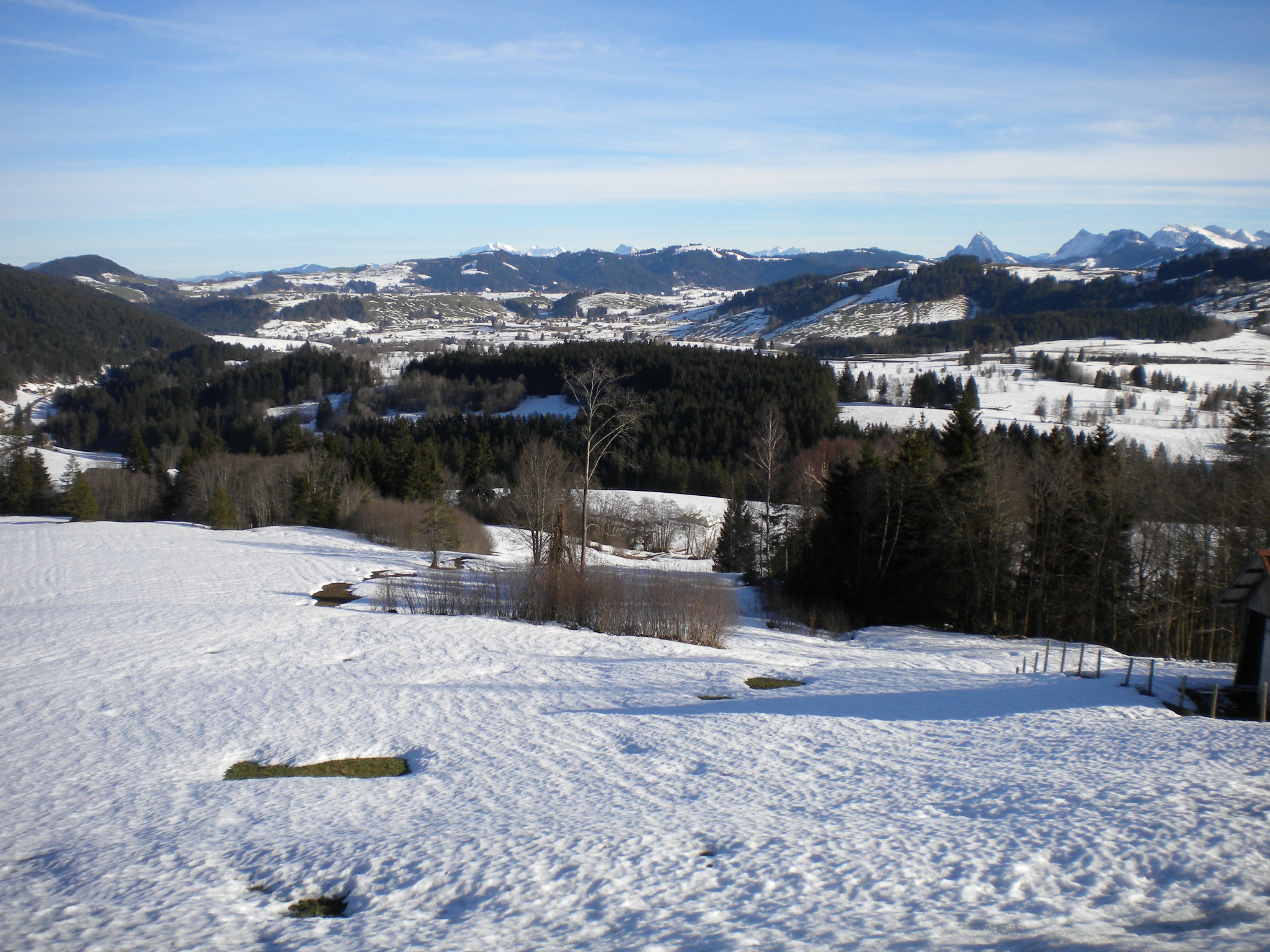
- 28. Dezember 2012, Um die Rigi (Horgen - Albis - Luzern - Brunnen - Sattel - Horgen)
- 29. Dezember 2012, Raten - Aegerisee - Zugersee - Hirzel
- 30. Dezember 2012, Umrundung Zürichsee+
- Buchhaltung
Festive 500 km, 2012
24. Dezember 2012, Umrundung Zürichsee inkl. Obersee
Mit Fixie 48x16 (Ritchey Breakaway)| Distance | 91.4 km |
| Time | 3:01 h |
| Elevation gain | 260 m |
| Temperature | +11 °C |
| Conditions | sunny |


25. Dezember 2012, Umrundung Zürichsee
Mit Fixie 48x16 (Ritchey Breakaway)| Distance | 65 km |
| Time | 2:07 h |
| Elevation gain | 122 m |
| Temperature | +8 °C |
| Conditions | sunny |

")

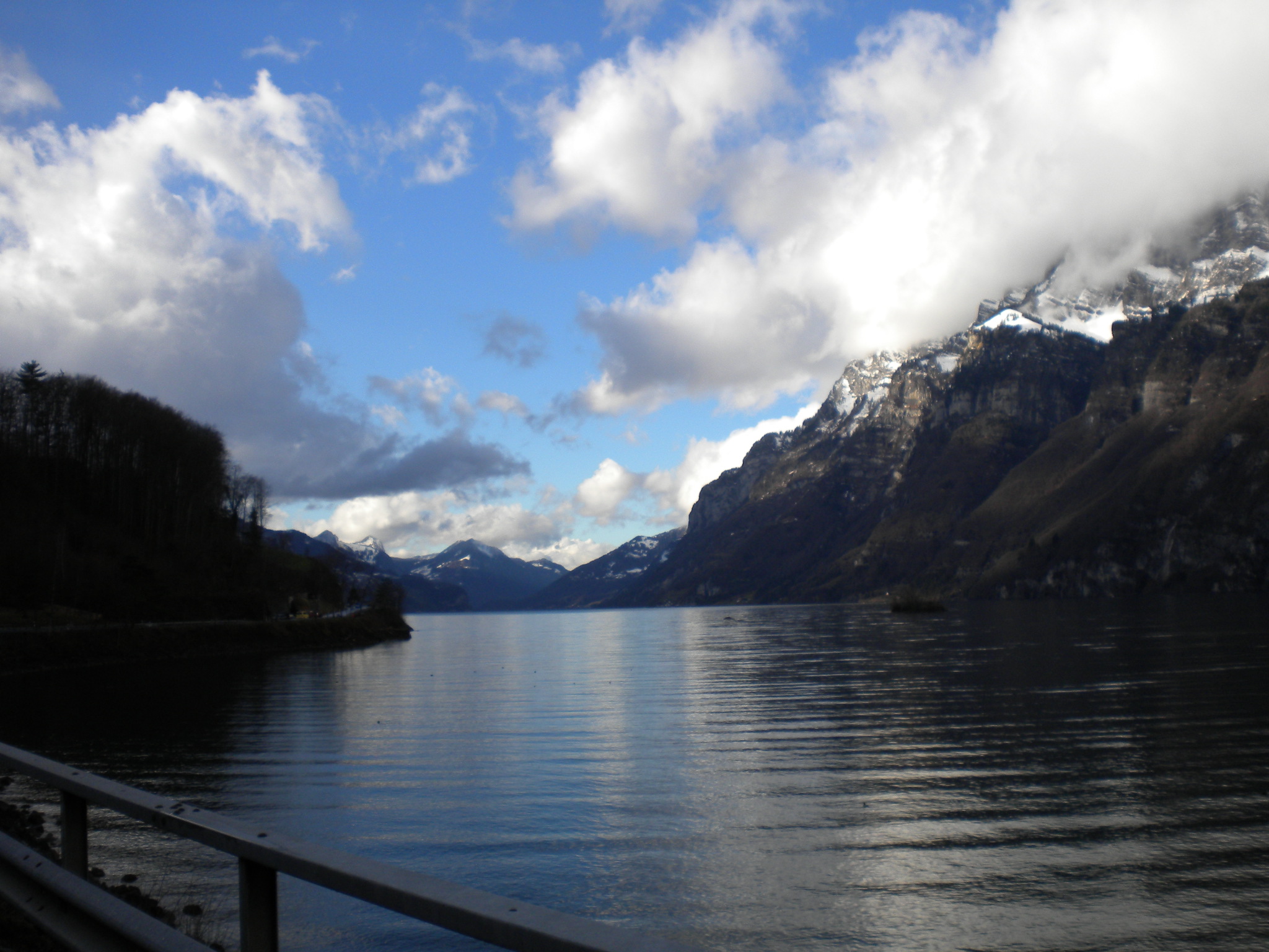
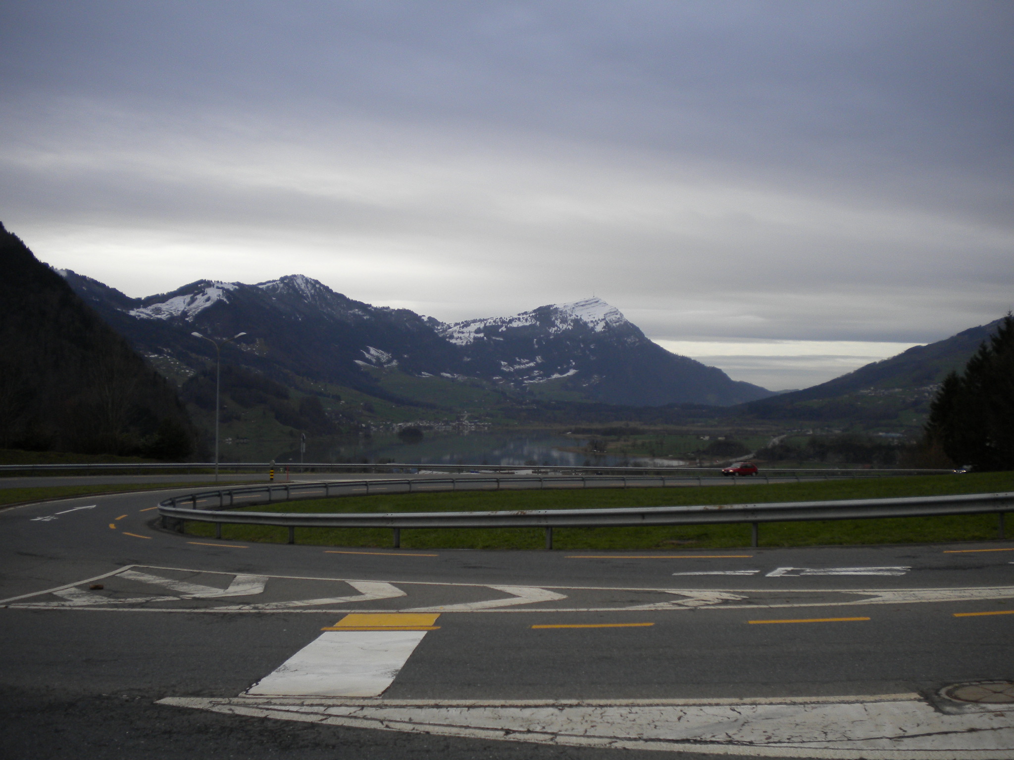
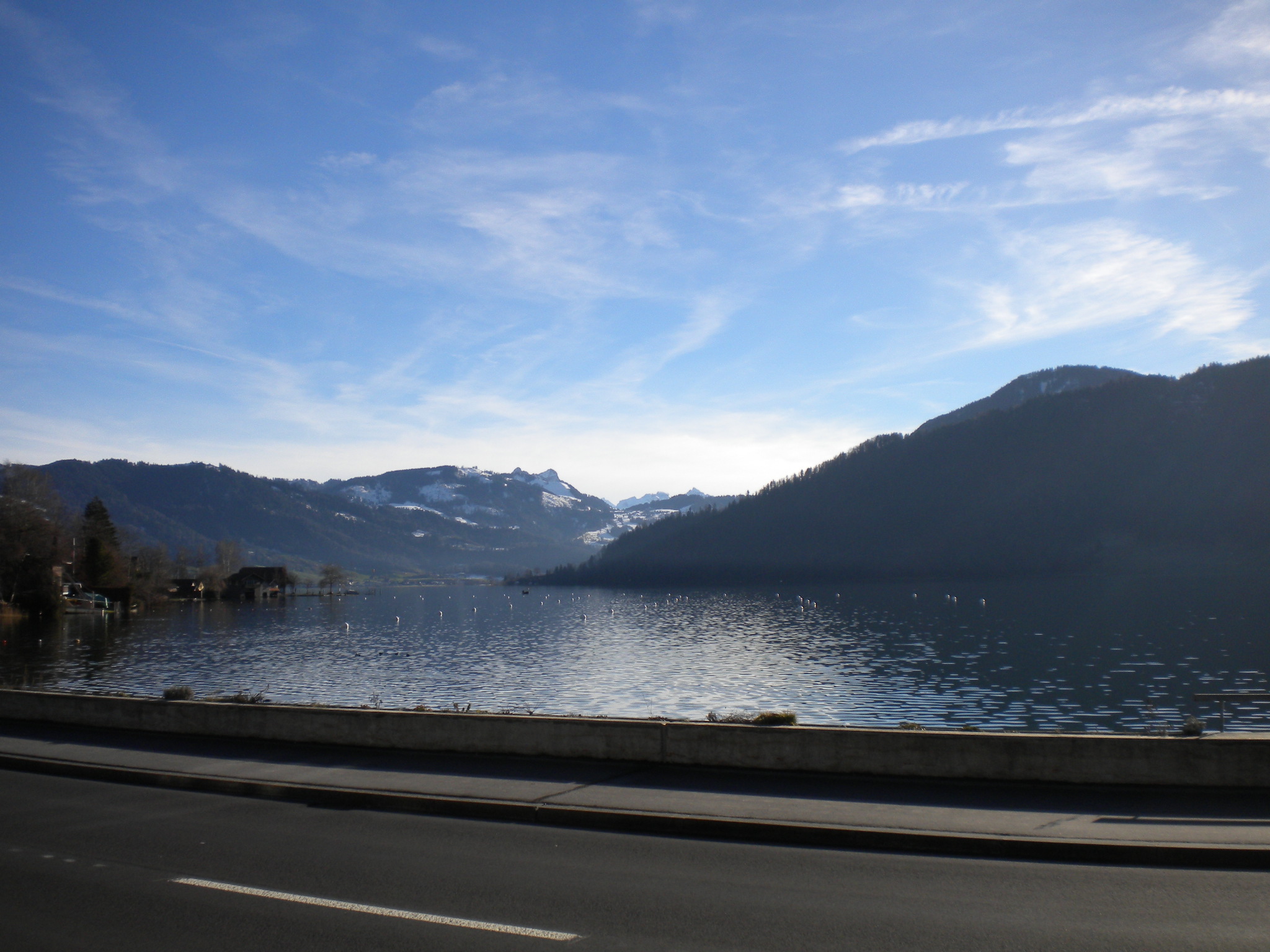
26. Dezember 2012, Horgen - Kerenzerberg - Walenstadt - Kerenzerberg - Horgen
Mit Ritchey Breakaway Steel| Distance | 135 km |
| Time | 5:30 h |
| Elevation gain | 850 m |
| Temperature | +7 °C |
| Conditions | rainy |


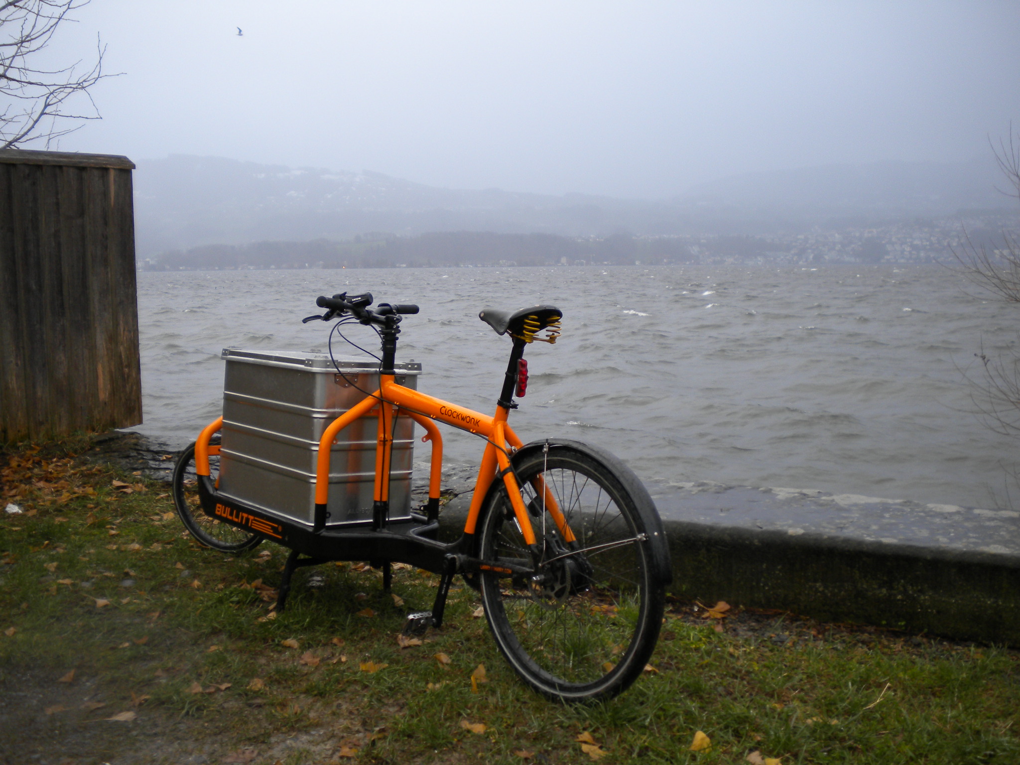
27. Dezember 2012, Einkauf mit dem Transport-Velo (Horgen - Meilen [Fähre] - Stäfa - Rapperswil - Horgen)
| Distance | 40 km |
| Time | 2:07 h |
| Elevation gain | 100 m |
| Temperature | +8 °C |
| Conditions | stormy, rainy |
 |
|||
| Mein Bullitt Transport-Velo im Kehlhof, Stäfa . |
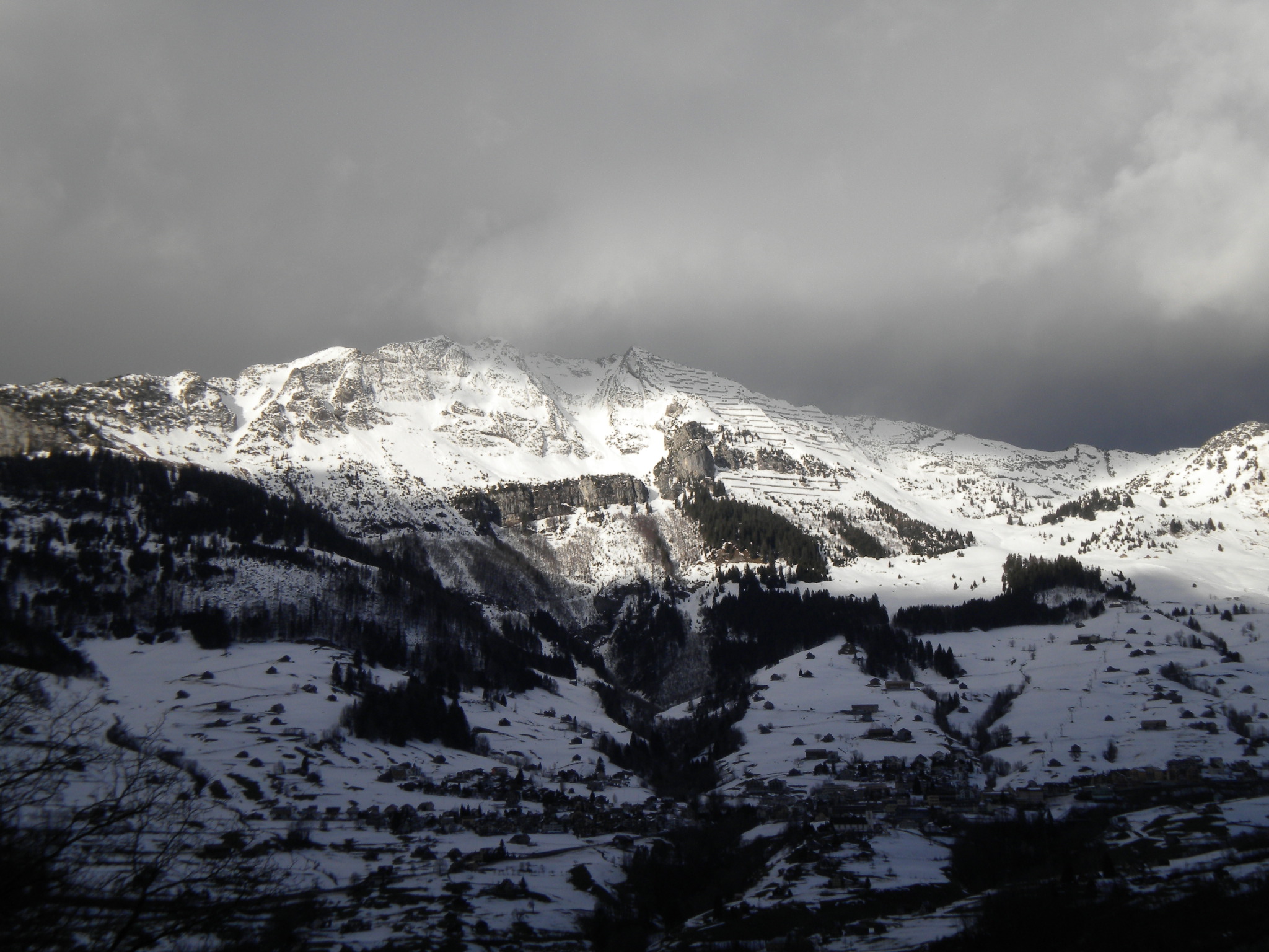
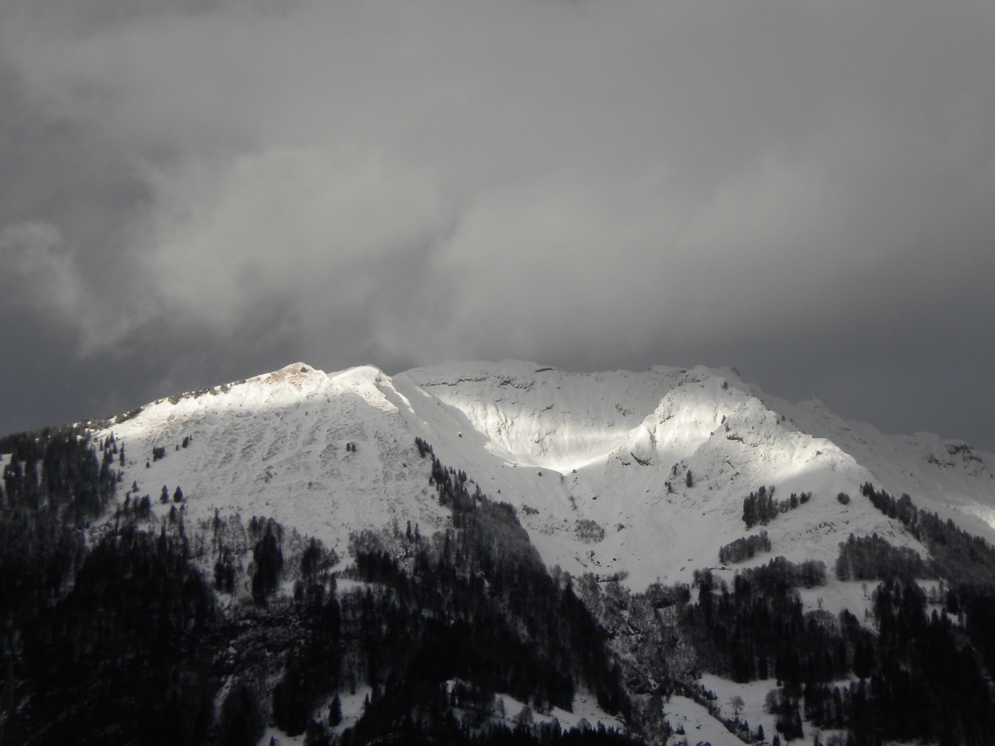
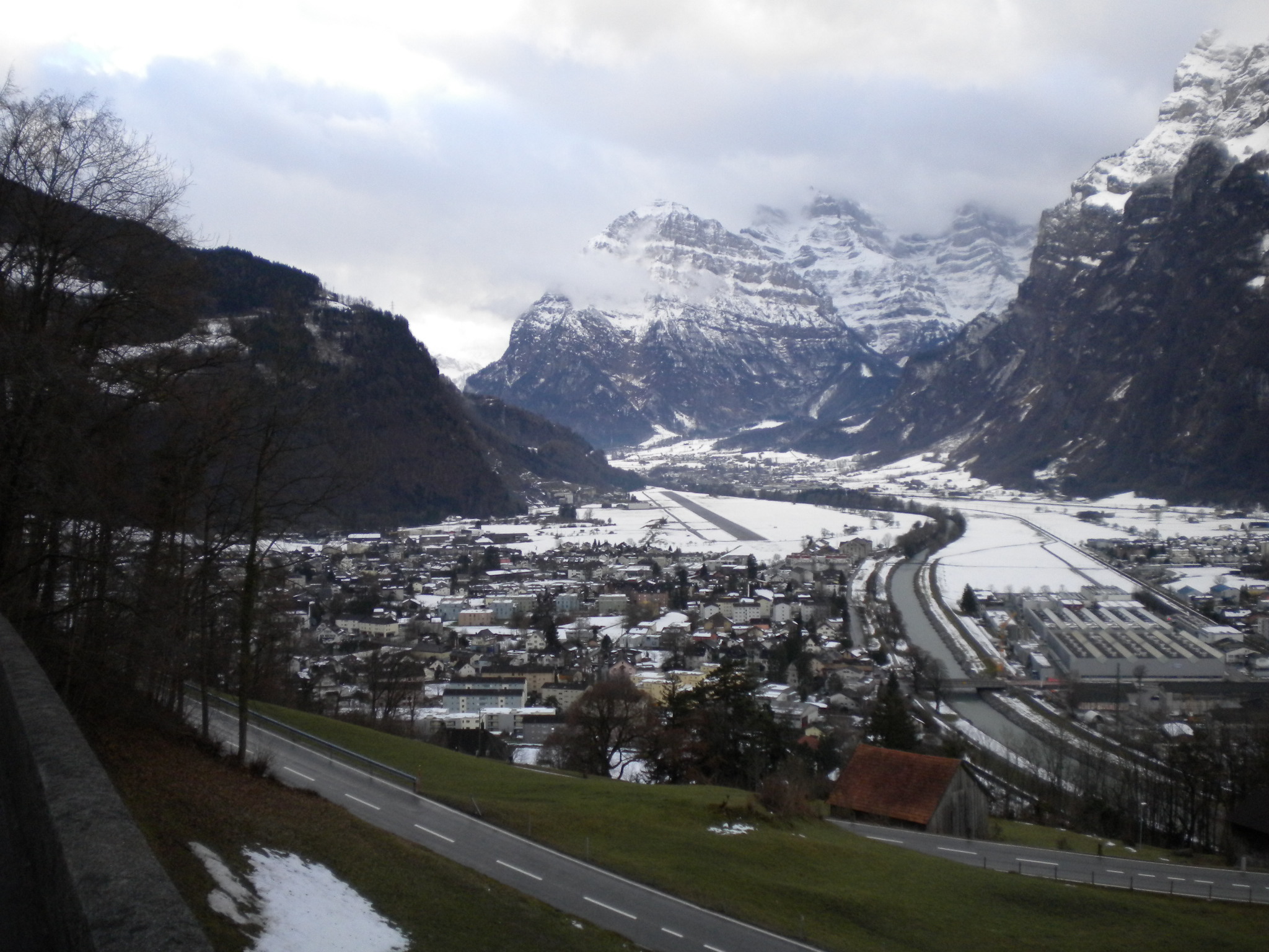
28. Dezember 2012, Um die Rigi (Horgen - Albis - Luzern - Brunnen - Sattel - Horgen)
Mit Ritchey Breakaway Steel| Distance | 128 km |
| Time | 5:20 h |
| Elevation gain | 1500 m |
| Temperature | +3 - +7°C |
| Conditions | cloudy |


")

")

")
")
")

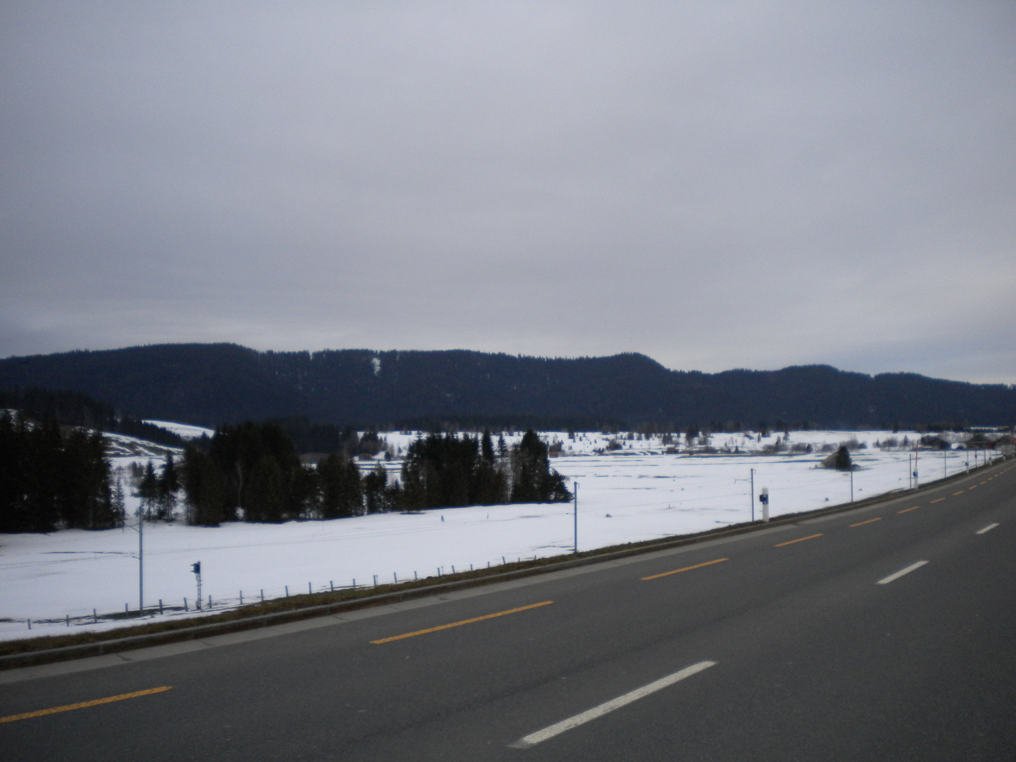
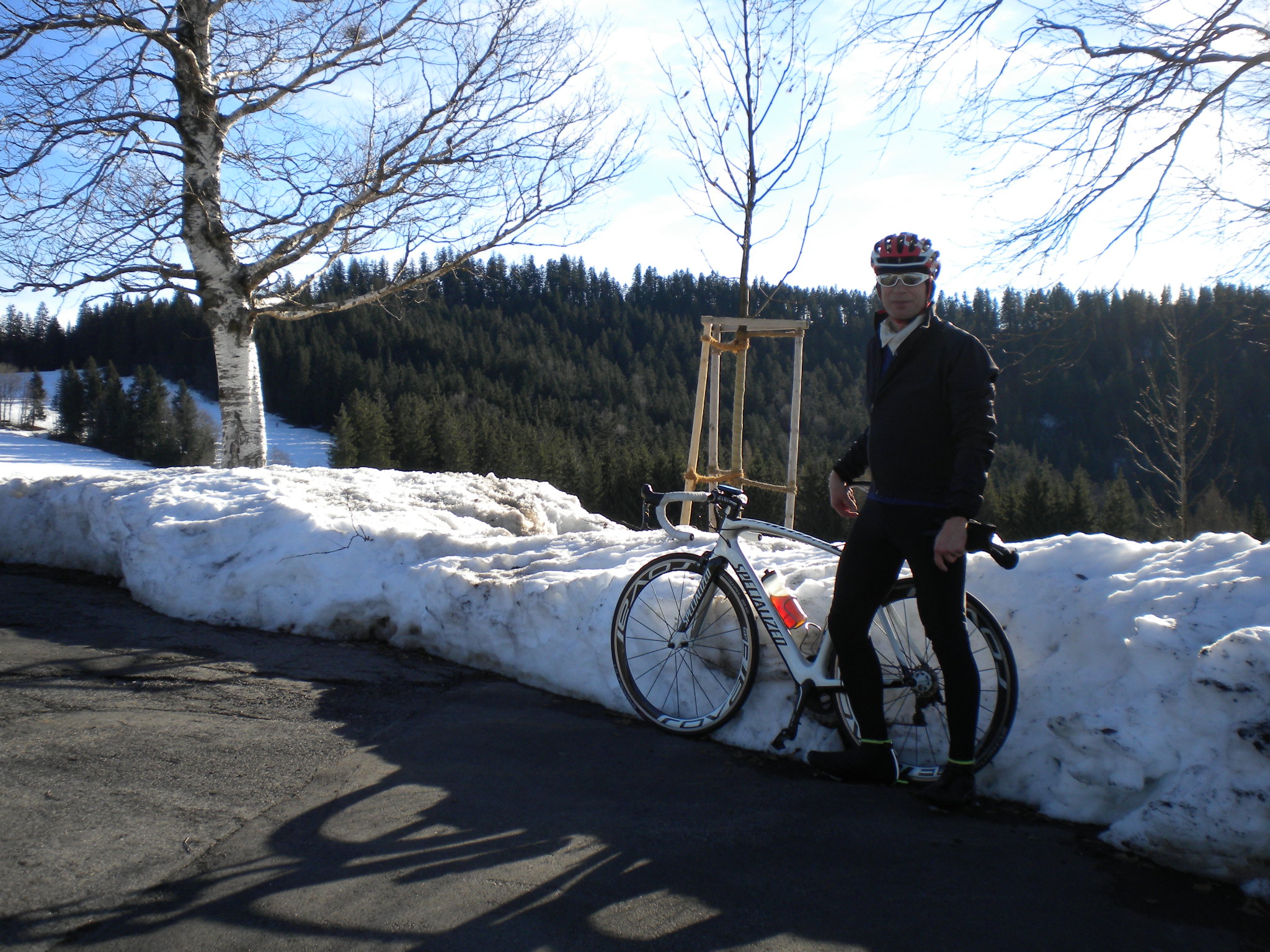
29. Dezember 2012, Raten - Aegerisee - Zugersee - Hirzel
Mit Specialized Venge| Distance | 97 km |
| Time | 3:47 h |
| Elevation gain | 1200 m |
| Temperature | +2 - +5°C |
| Conditions | sunny |


30. Dezember 2012, Umrundung Zürichsee+
Mit Fixie 48x16 (Ritchey Breakaway)| Distance | 72 km |
| Time | 2:23 h |
| Elevation gain | 180 m |
| Temperature | +7 °C |
| Conditions | sunny |
Buchhaltung
| Day | Distance [km] |
|---|---|
| 24.12.2012 | 91 |
| 25.12.2012 | 65 |
| 26.12.2012 | 135 |
| 27.12.2012 | 40 |
| 28.12.2012 | 128 |
| 29.12.2012 | 97 |
| 30.12.2012 | 72 |
| 628 |


| I | Attachment | History | Action | Size | Date | Who | Comment |
|---|---|---|---|---|---|---|---|
| |
DSCN3028.JPG | r1 | manage | 2314.0 K | 2012-12-24 - 19:40 | PeterSchmid | |
| |
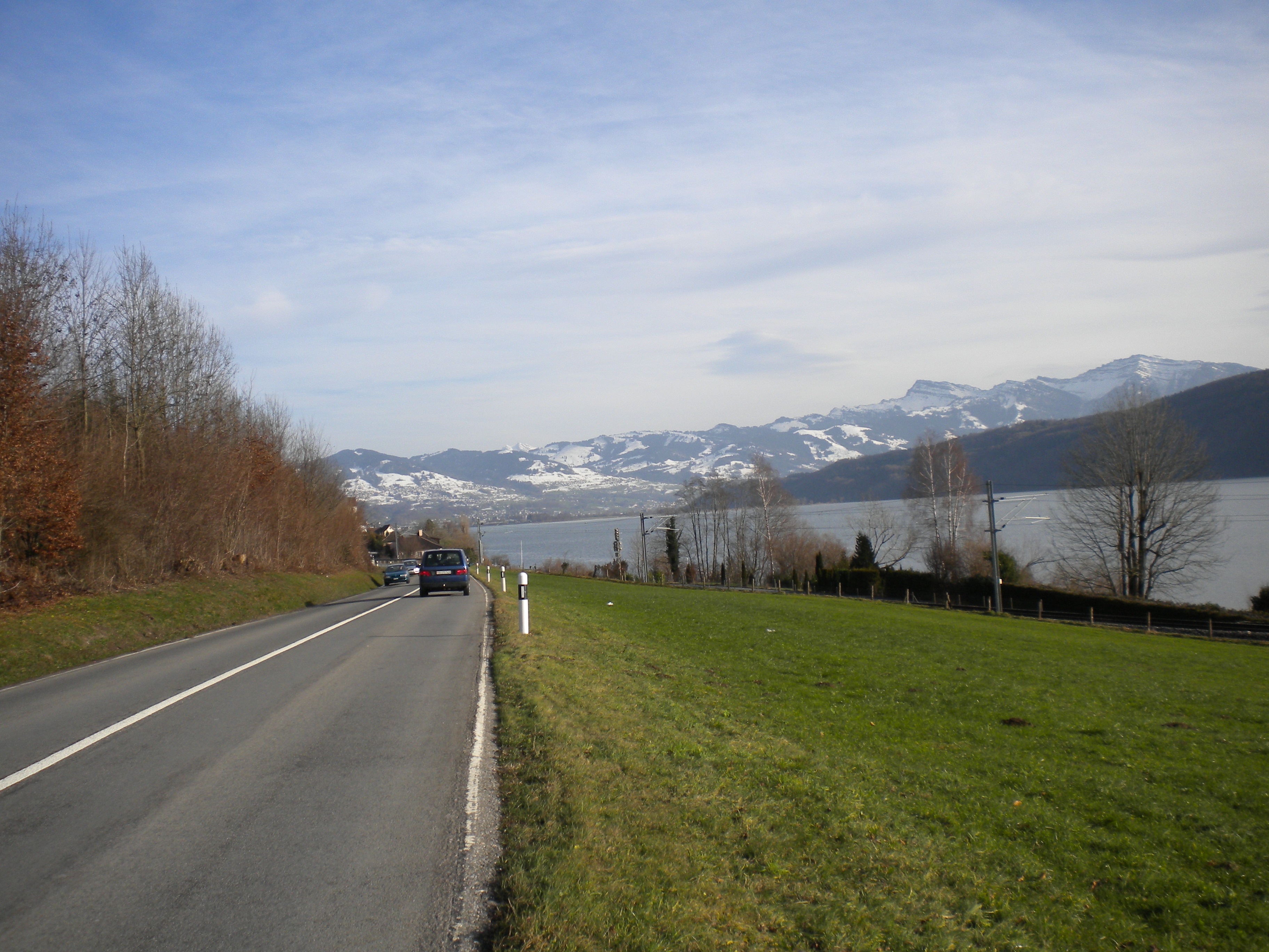
DSCN3029.JPG | r1 | manage | 2120.9 K | 2012-12-24 - 19:41 | PeterSchmid | Zwischen Rapperswil und Schmerikon |
| |
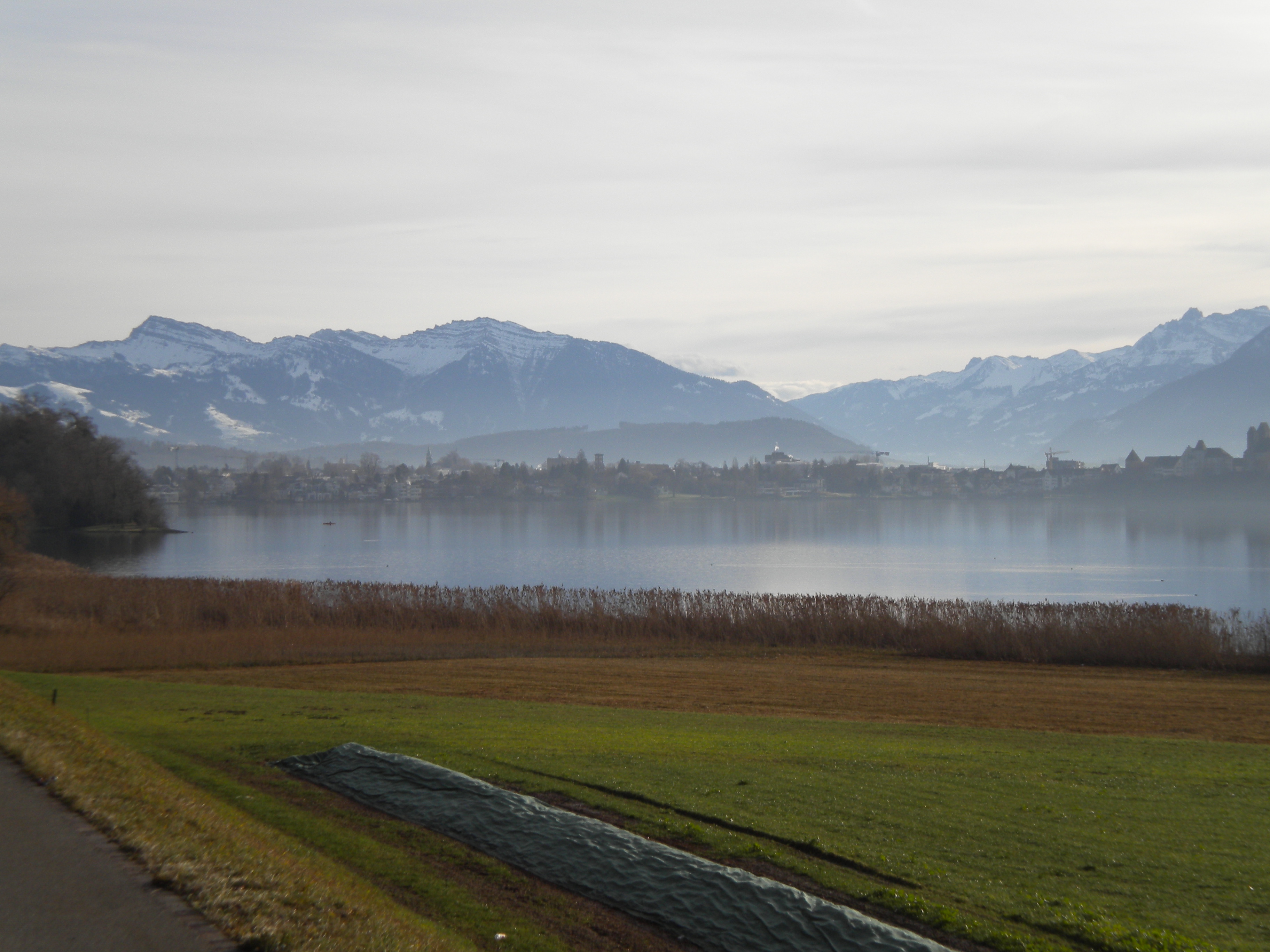
DSCN3033.JPG | r1 | manage | 1998.3 K | 2012-12-25 - 16:12 | PeterSchmid | Rapperswil |
| |
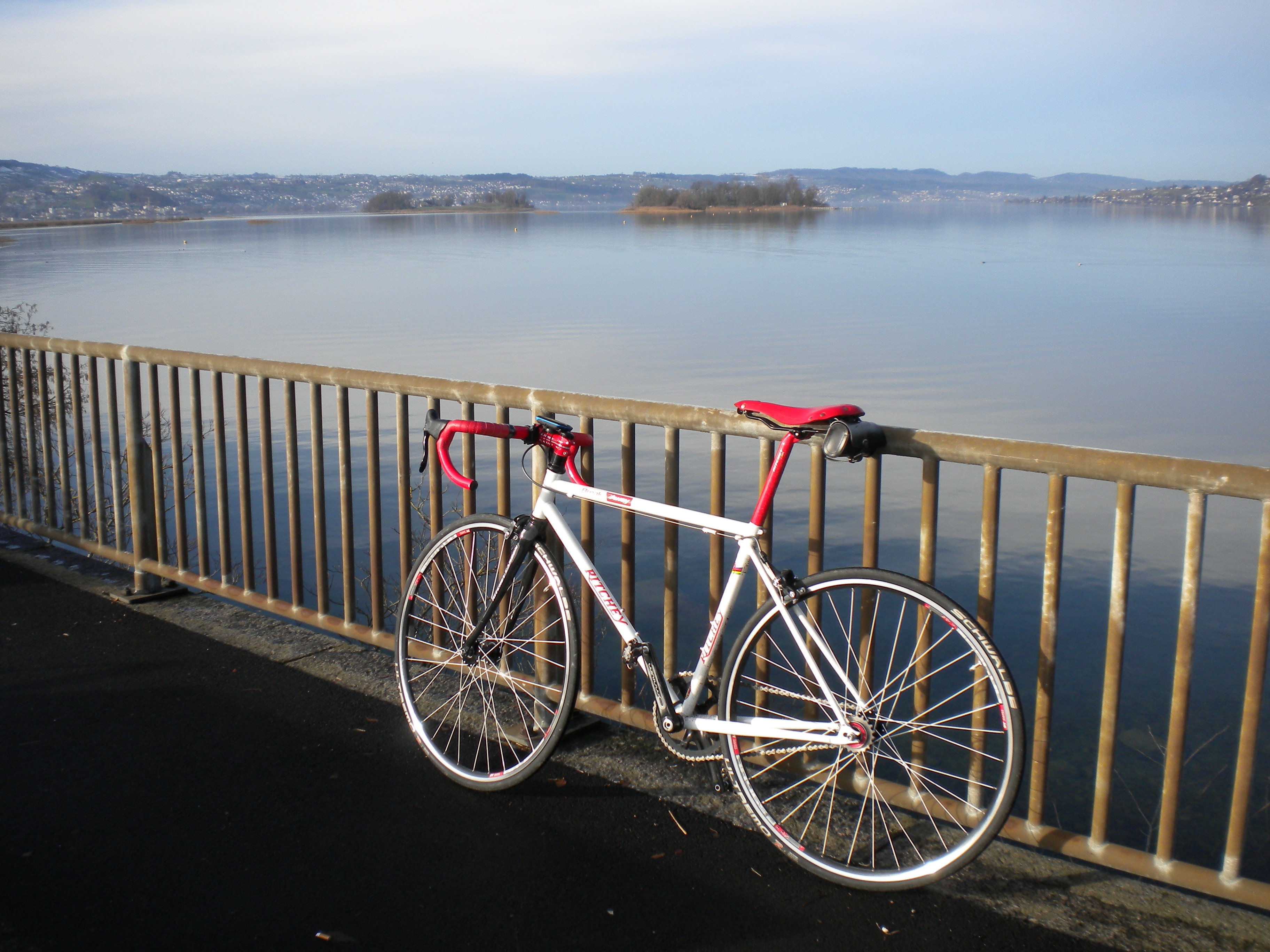
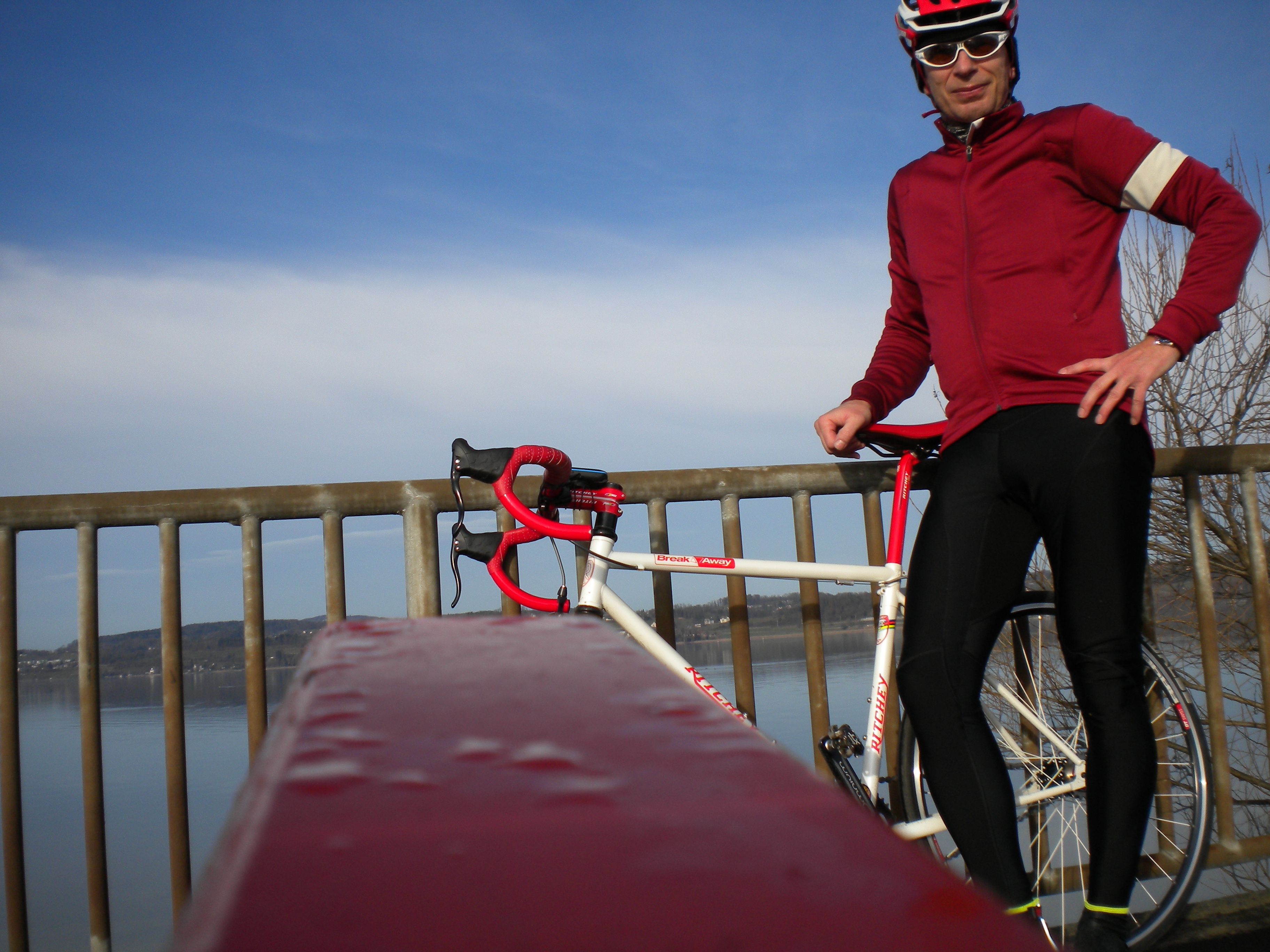
DSCN3037.JPG | r1 | manage | 2069.1 K | 2012-12-25 - 16:12 | PeterSchmid | Ritchey Breakway Fixie, im Hintergrund die Inseln Ufenau und Lützelau (Zürichsee) |
| |
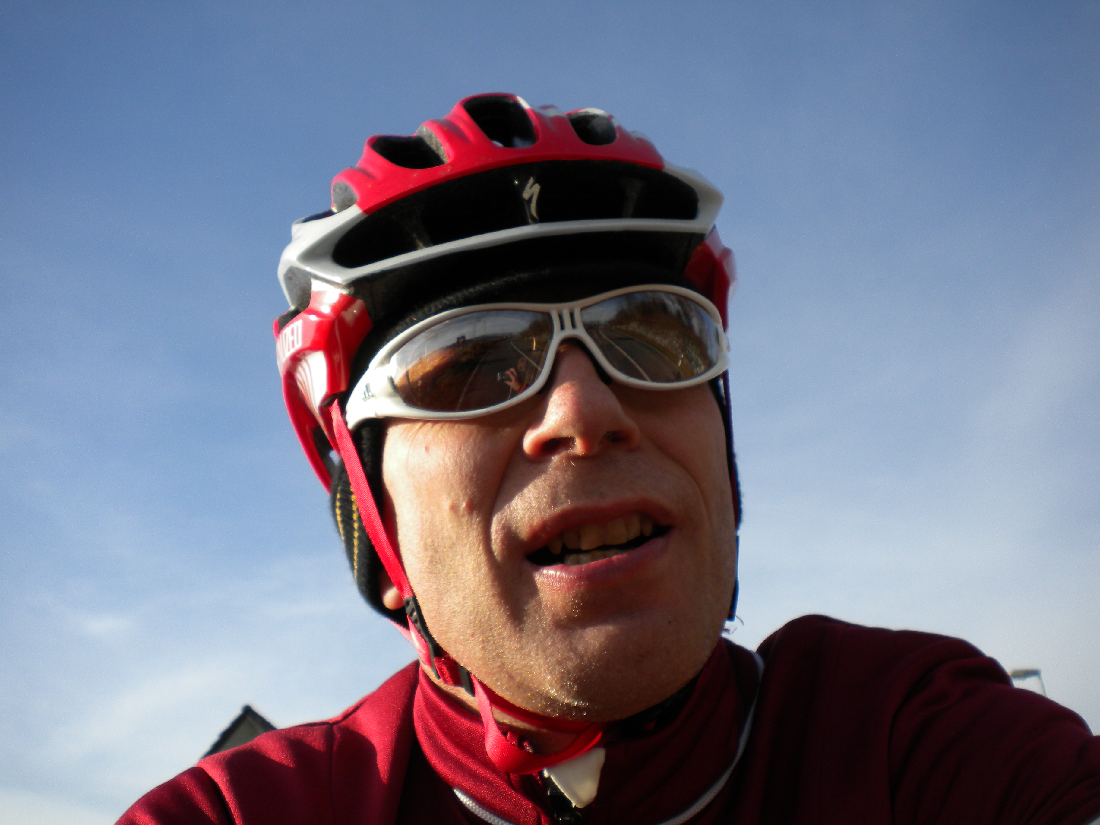
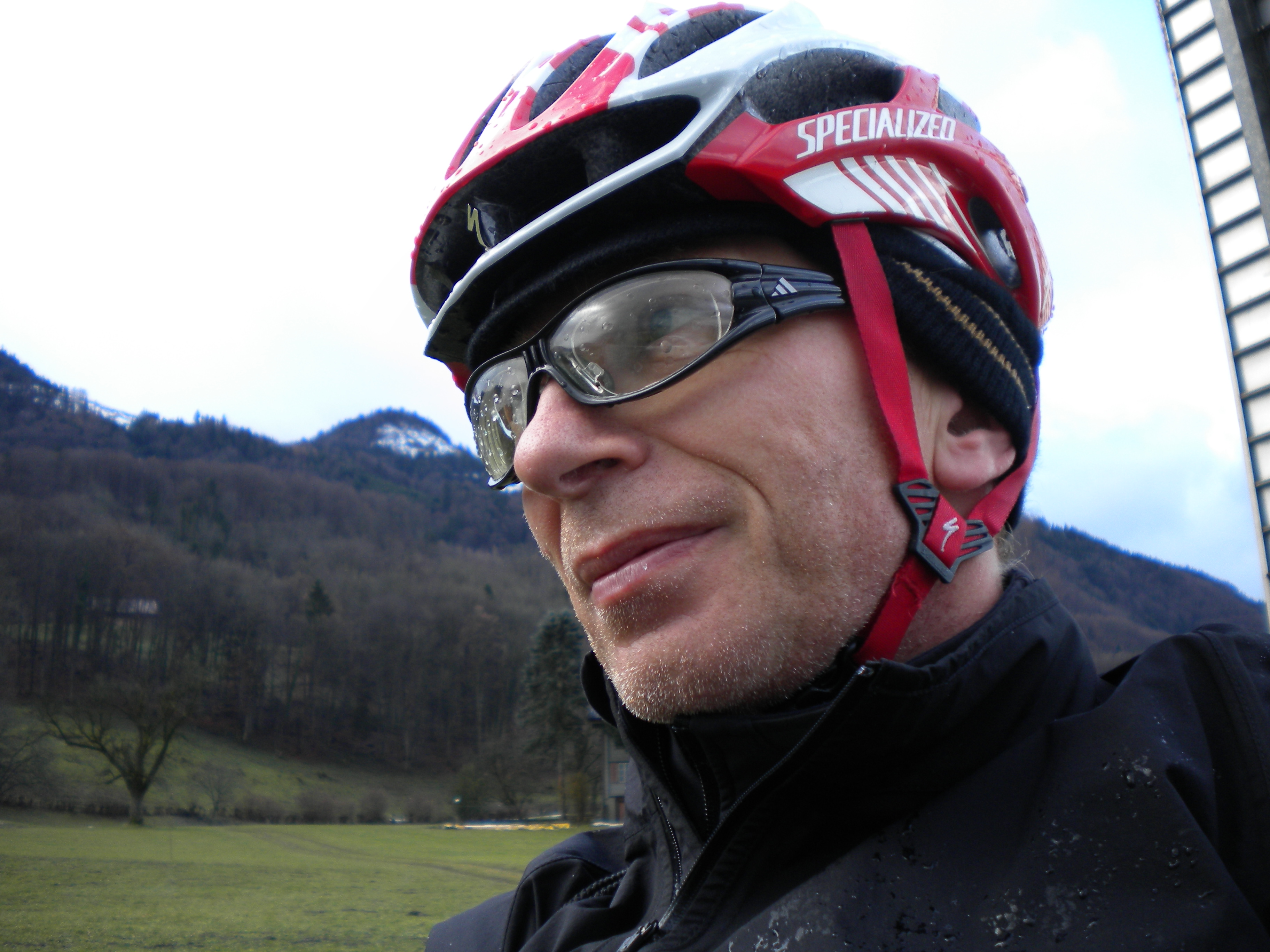
DSCN3040.JPG | r1 | manage | 2214.8 K | 2012-12-25 - 16:12 | PeterSchmid | Selbstauslöser von der Lehne einer Parkbank aus |
| |
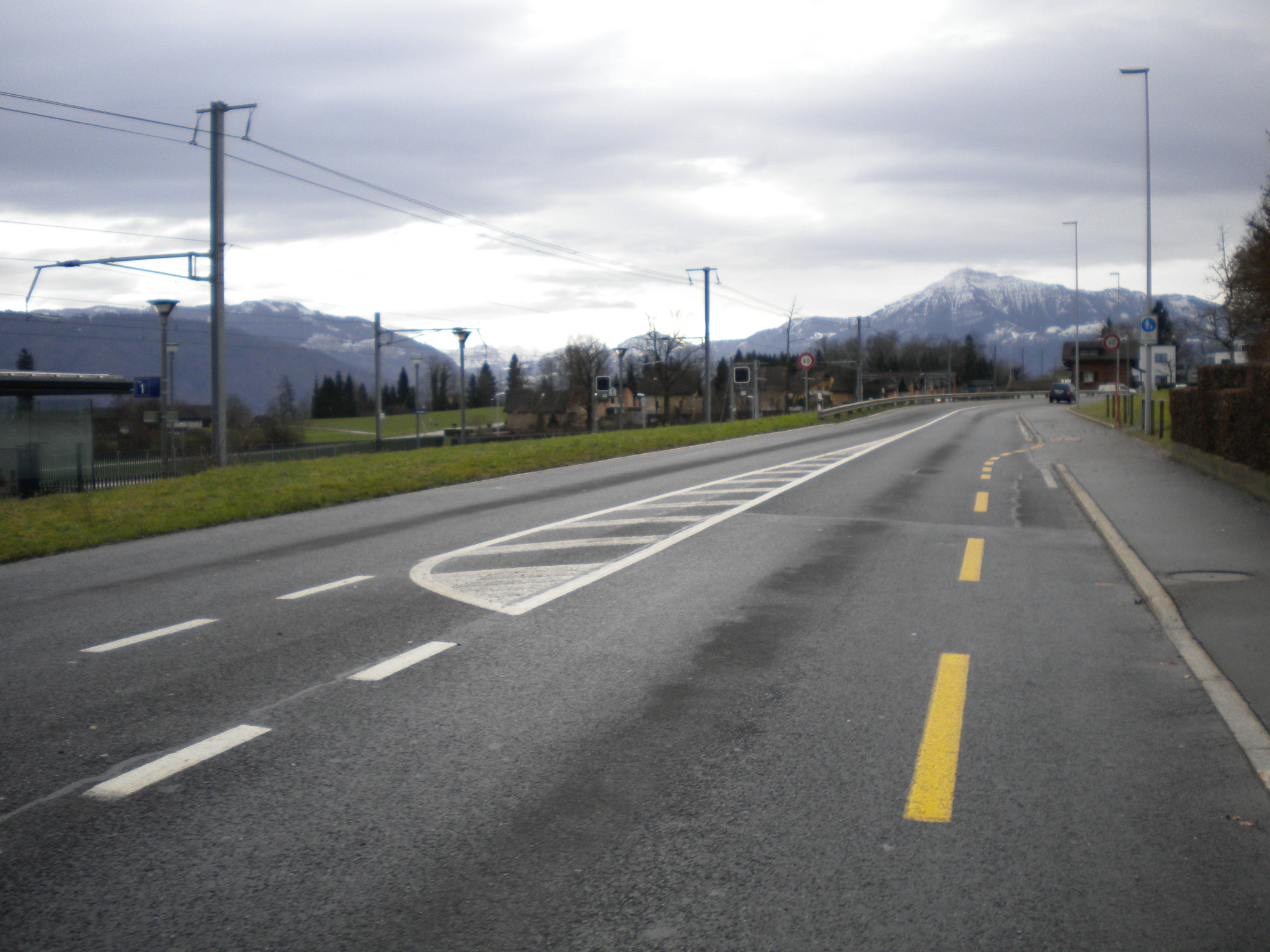
DSCN3042.JPG | r1 | manage | 2033.3 K | 2012-12-26 - 21:08 | PeterSchmid | Reichenburg |
| |
DSCN3046.JPG | r1 | manage | 1908.0 K | 2012-12-26 - 21:08 | PeterSchmid | |
| |
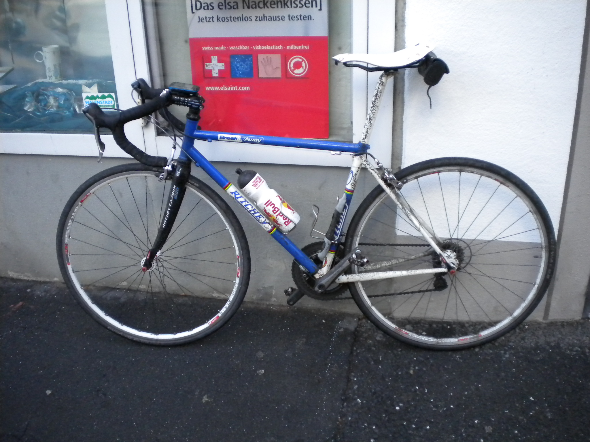
DSCN3048.JPG | r1 | manage | 640.2 K | 2012-12-26 - 21:07 | PeterSchmid | Ritchey Breakway Steel |
| |
DSCN3049.JPG | r1 | manage | 638.7 K | 2012-12-26 - 21:07 | PeterSchmid | Walensee |
| |
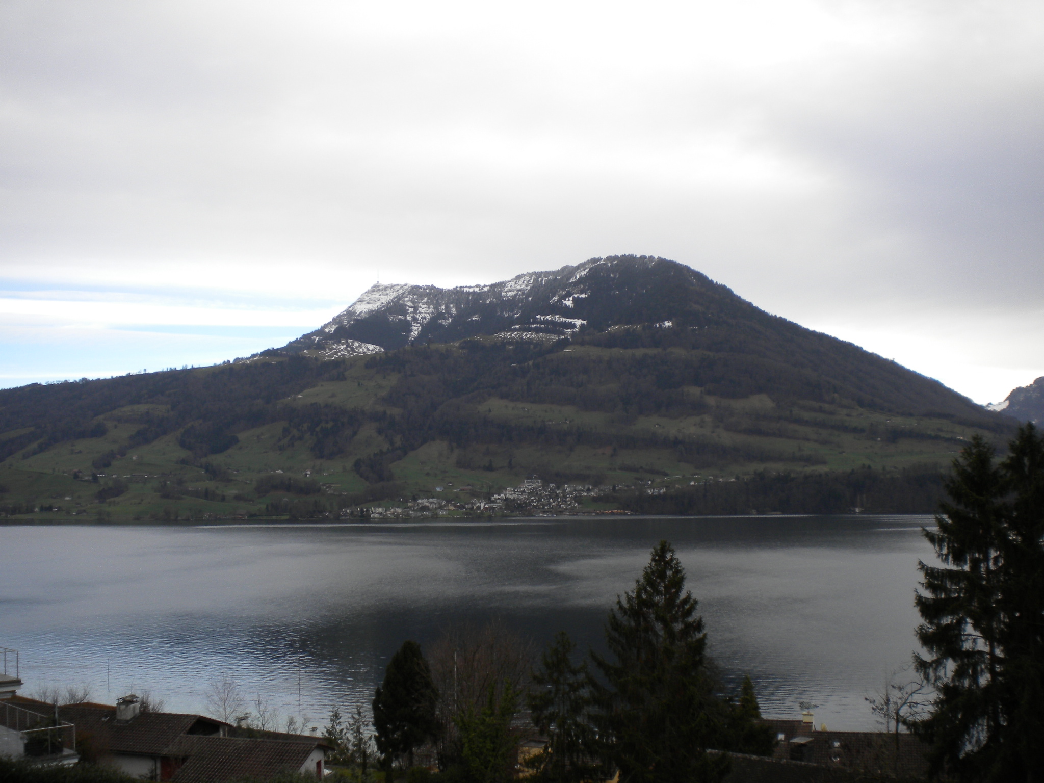
DSCN3051.JPG | r1 | manage | 677.9 K | 2012-12-26 - 21:09 | PeterSchmid | Amden, von Kerenzerberg aus gesehen |
| |
DSCN3053.JPG | r1 | manage | 660.8 K | 2012-12-26 - 21:09 | PeterSchmid | |
| |
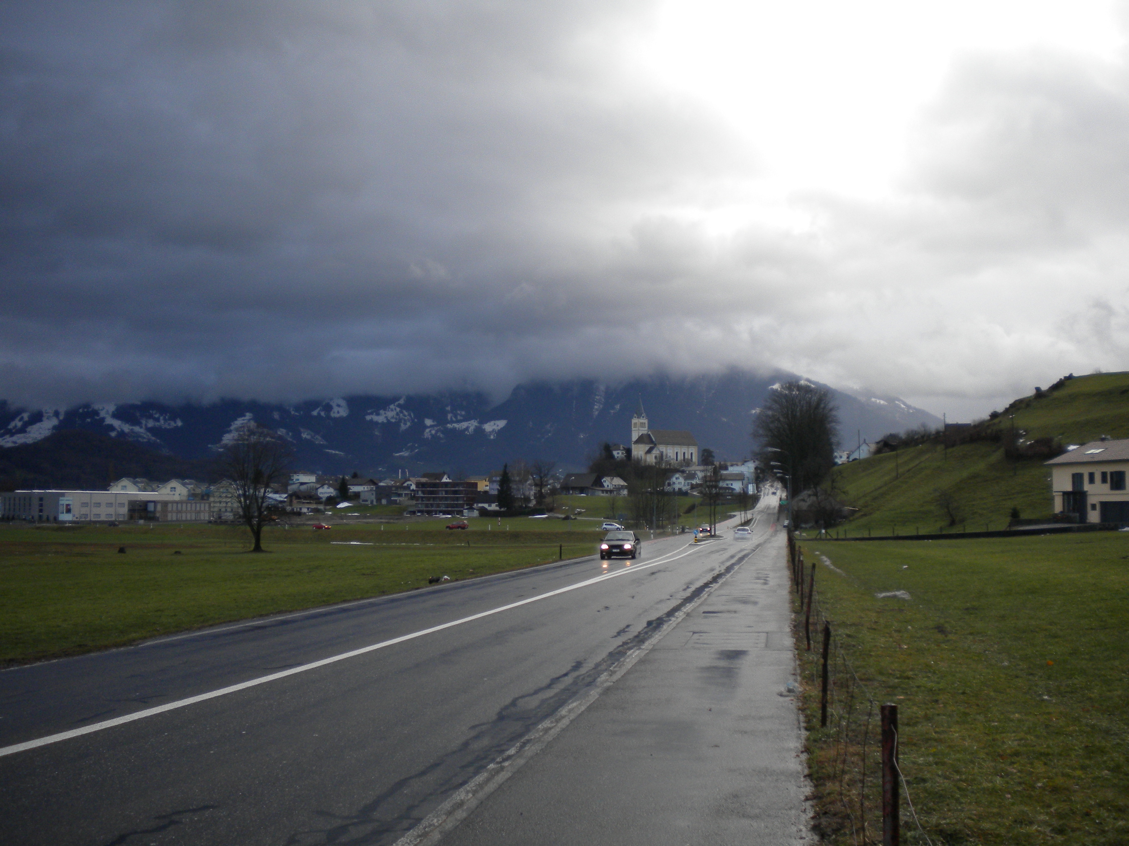
DSCN3056.JPG | r1 | manage | 672.9 K | 2012-12-26 - 21:08 | PeterSchmid | Mollis |
| |
DSCN3061.JPG | r1 | manage | 687.2 K | 2012-12-27 - 18:48 | PeterSchmid | Mein Bullitt Transport-Velo im Kehlhof, Stäfa |
| |
DSCN3064.AVI | r1 | manage | 23334.0 K | 2012-12-27 - 18:47 | PeterSchmid | |
| |
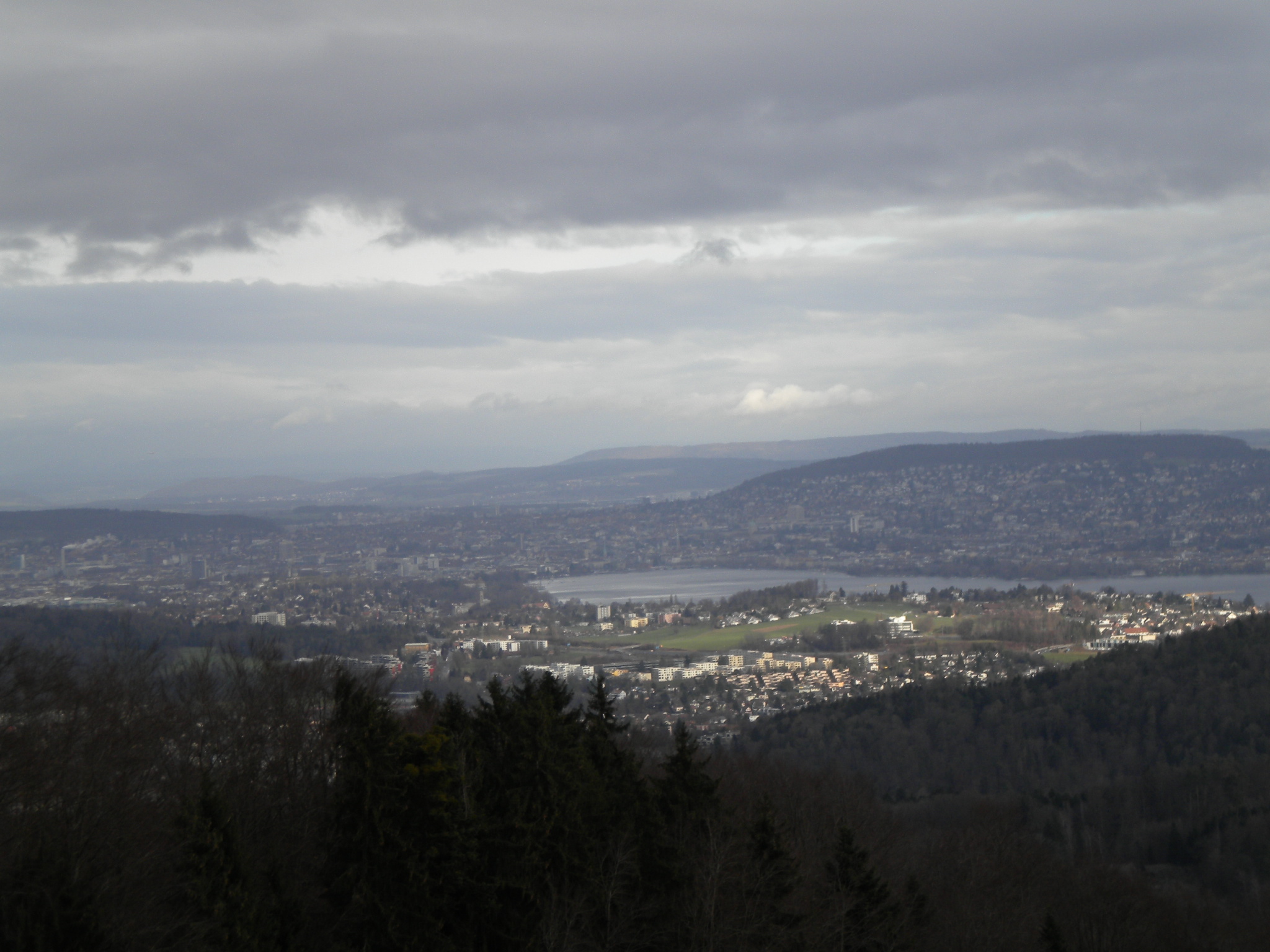
DSCN3068.JPG | r1 | manage | 711.0 K | 2012-12-28 - 16:13 | PeterSchmid | Zürich vom Albis aus gesehen |
| |
DSCN3069.JPG | r1 | manage | 700.5 K | 2012-12-28 - 16:13 | PeterSchmid | |
| |
DSCN3071.JPG | r1 | manage | 680.6 K | 2012-12-28 - 16:13 | PeterSchmid | Rigi (Cham) |
| |
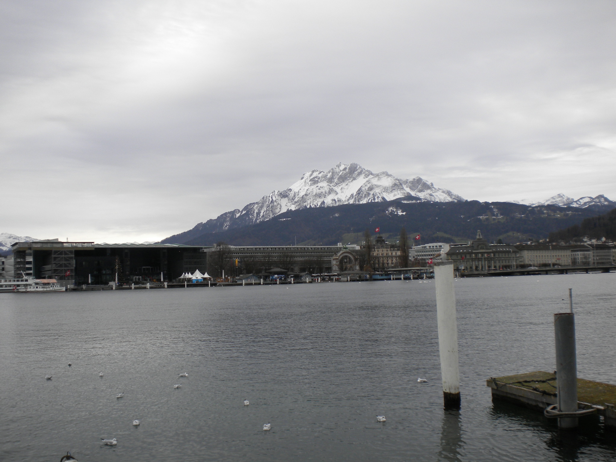
DSCN3074.JPG | r1 | manage | 673.6 K | 2012-12-28 - 16:13 | PeterSchmid | Luzern |
| |
DSCN3075.JPG | r1 | manage | 705.3 K | 2012-12-28 - 16:13 | PeterSchmid | Rigi (Küssnacht) |
| |
DSCN3077.JPG | r1 | manage | 627.1 K | 2012-12-28 - 16:13 | PeterSchmid | Weggis |
| |
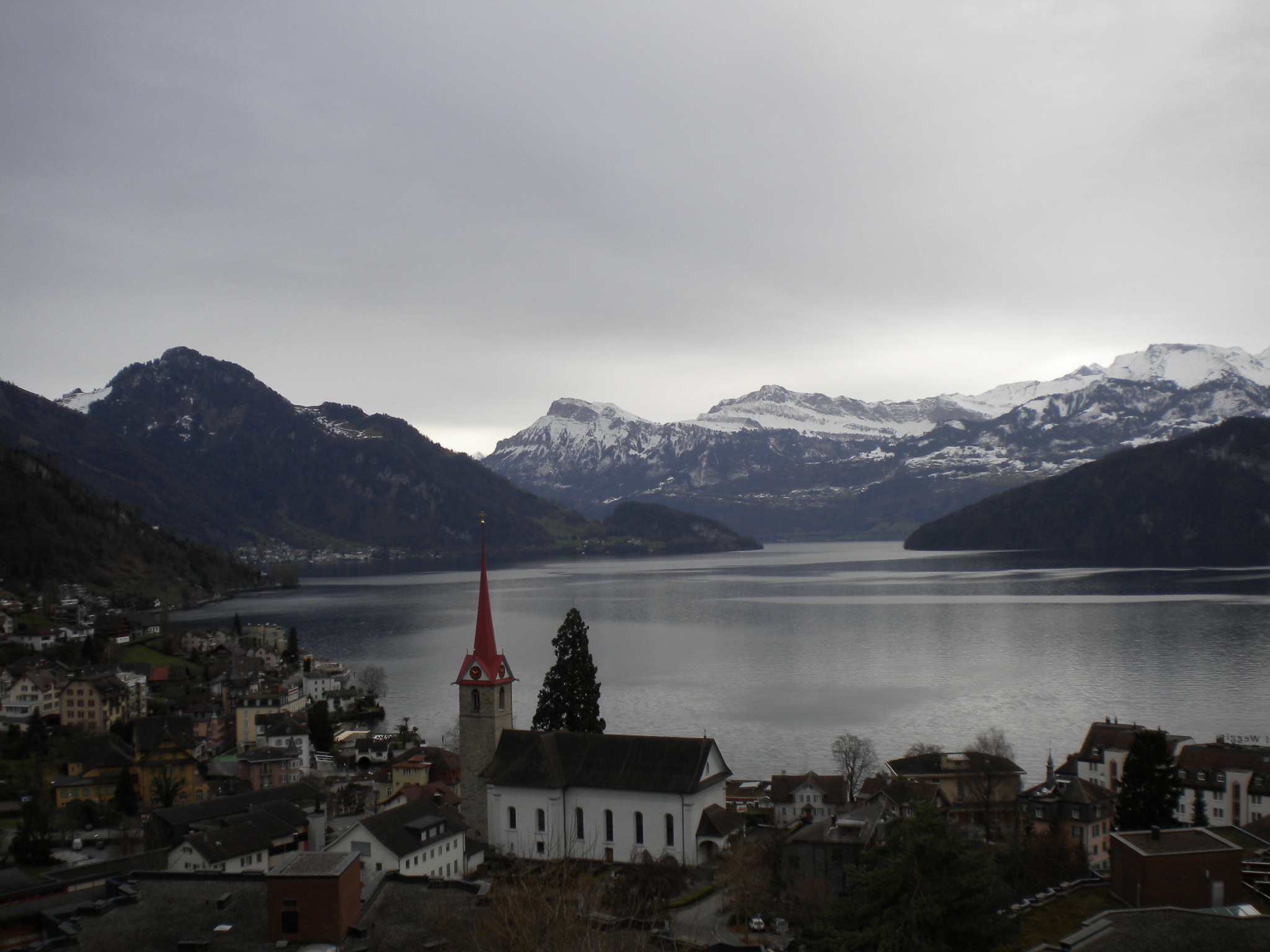
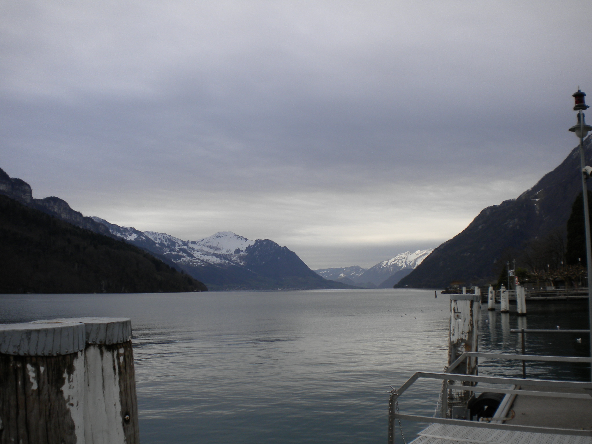
DSCN3084.JPG | r1 | manage | 749.9 K | 2012-12-28 - 16:13 | PeterSchmid | Brunnen (Blick Richtung Urnersee) |
| |
DSCN3085.JPG | r1 | manage | 690.4 K | 2012-12-28 - 16:13 | PeterSchmid | Brunnen (Blick Richtung Luzern) |
| |
DSCN3088.JPG | r1 | manage | 655.6 K | 2012-12-28 - 16:14 | PeterSchmid | Rigi (Schwyz) |
| |
DSCN3090.JPG | r1 | manage | 704.5 K | 2012-12-28 - 16:14 | PeterSchmid | Rothenthurmer Moor |
| |
DSCN3092.AVI | r1 | manage | 11941.5 K | 2012-12-28 - 16:26 | PeterSchmid | 3. Altmatt |
| |
DSCN3093.JPG | r1 | manage | 650.4 K | 2012-12-29 - 16:30 | PeterSchmid | Zürichsee |
| |
DSCN3095.JPG | r1 | manage | 675.1 K | 2012-12-29 - 16:30 | PeterSchmid | Blick vom Raten Richtung Biberbrugg |
| |
DSCN3099.JPG | r1 | manage | 741.8 K | 2012-12-29 - 16:30 | PeterSchmid | Parkplatz Raten |
| |
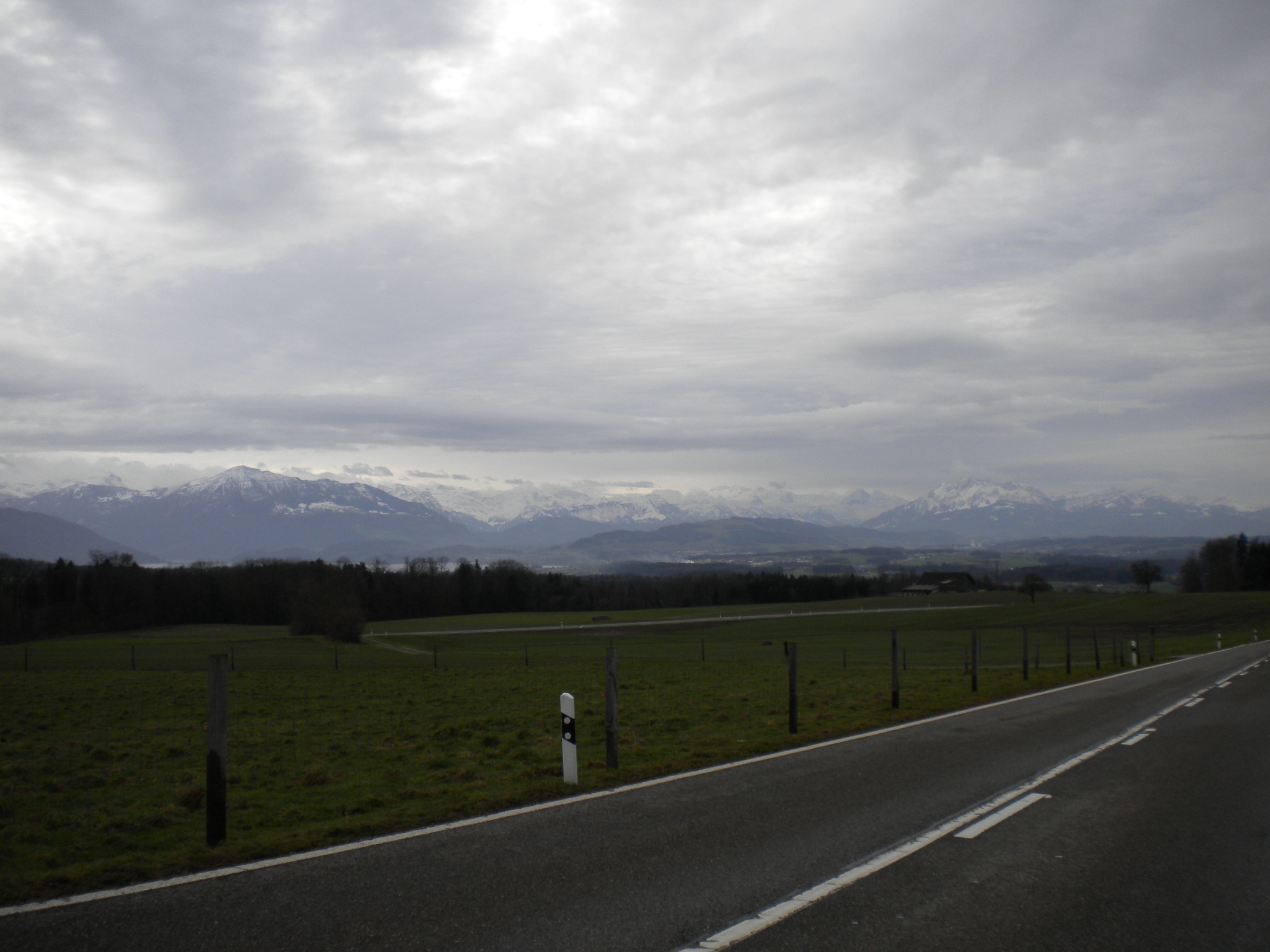
DSCN3101.JPG | r1 | manage | 669.2 K | 2012-12-29 - 16:30 | PeterSchmid | Aegerisee |
| |
DSCN3103.JPG | r1 | manage | 709.6 K | 2012-12-29 - 16:30 | PeterSchmid | Zugersee |
| |
RIGI_course.fit | r1 | manage | 246.3 K | 2012-12-28 - 16:36 | PeterSchmid | |
| |
Rigi_course.gpx | r1 | manage | 1177.0 K | 2012-12-28 - 16:35 | PeterSchmid | |
| |
ZCHSEE_course.fit | r1 | manage | 56.4 K | 2012-12-26 - 21:32 | PeterSchmid | |
| |
ZSEE2_course.fit | r1 | manage | 69.2 K | 2012-12-30 - 21:03 | PeterSchmid | |
| |
ZSEEX_course.fit | r1 | manage | 91.9 K | 2012-12-24 - 20:36 | PeterSchmid | |
| |
ZUG_course.fit | r1 | manage | 182.6 K | 2012-12-29 - 16:40 | PeterSchmid | |
| |
Zchsee_course.gpx | r1 | manage | 210.7 K | 2012-12-26 - 21:32 | PeterSchmid | |
| |
Zsee2_course.gpx | r1 | manage | 329.0 K | 2012-12-30 - 21:03 | PeterSchmid | |
| |
Zseex_course.gpx | r1 | manage | 440.8 K | 2012-12-24 - 20:39 | PeterSchmid | |
| |
Zug_course.gpx | r1 | manage | 823.0 K | 2012-12-29 - 16:50 | PeterSchmid | |
| |
festive-logo.jpg | r1 | manage | 27.6 K | 2012-12-24 - 19:35 | PeterSchmid |
Topic revision: r11 - 2013-01-06 - PeterSchmid


Ideas, requests, problems regarding TWiki? Send feedback